New development should seek to protect and where practical, improve and extend the green and blue infrastructure network, as defined on the policies map. Where appropriate, in determining planning applications, consideration will be given to how development proposals:
a. Protect and enhance green and blue infrastructure assets;
b. Provide high quality links between existing assets and/or provide additional uses for multi functionality where appropriate;
c. Secure improved access to green infrastructure;
d. Create a sense of place by protecting and/or fully integrating high quality, green infrastructure into the proposed development to reflect the character of the neighbourhood plan area;
e. Integrate green and blue infrastructure with sustainable drainage systems and the management of flood risk; and
f. Address the management and maintenance of new and existing green and blue infrastructure throughout and beyond the plan period through the use of appropriate planning conditions or planning obligations
g. Naturalising watercourse channels;
h. Improving the biodiversity and ecological connectivity of watercourses;
i. Safeguarding and enlarging river or stream buffers with appropriate habitat;
j. Controlling and mitigating potential pollutants likely to arise from the development,as appropriate;
k. Ensuring that all drainage of new development is connected correctly and within the capacity of existing water and sewerage systems, ensuring early engagement with Northumbrian Water;
l. Seeking opportunities to incorporate creation of wetland habitat in designs;
m. Ensuring that development does not fragment the wildlife corridor associated with the stream or pond; and
n. Preventing introduction of non-native species via construction or other works and managing present invasive non-native species where practical.
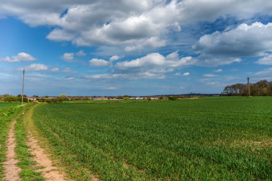
The residents of the plan area benefit from a rich natural environment, especially around the Boldon Pastures Site of Special Scientific Interest (SSSI) which comprises unimproved neutral grassland formerly subject to ridge and furrow cultivation , with associated hedgebanks and drainage channels. The SSSI and the Boldon Flats Local Wildlife Site are unique in the area. They contribute to the character of the local area, which is of great importance to the local community and the global natural environment by providing resting and feeding space for migratory populations of birds. There are four other local wildlife sites in the plan area at Black Plantation, Low House Copse, Tilesheds Burn and Turner’s Hill.
As a result of the valuable natural environment, plan objective 3 seeks to plan positively for the creation, protection and enhancement of networks of biodiversity, green and blue infrastructure.
Further information which supports the policies within this section are available within the natural environment background paper and the East Boldon Statement of the Natural Environment Paper
Green and blue infrastructure
The NPPF defines green infrastructure as: ‘A network of multi-functional green space, urban and rural, which is capable of delivering a wide range of environmental and quality of life benefits for local communities’. A network, green infrastructure can include: parks, open spaces, playing fields, wildlife corridors, woodlands, street trees, allotments and private gardens. As it can also include streams, canals and other water bodies, the forum considered the term should be expanded to explicitly refer to blue infrastructure. As green and blue infrastructure is close to where people live, it can play a key role in supporting the health of the local community. It also supports wildlife, climate change mitigation and adaptation, as well as helping to improve air quality
Policy EB5 therefore seeks to protect and where practical improve the green and blue infrastructure network of the plan area, supporting the delivery of plan objectives 3, 6 and 7. The identification has been informed by allocations within the adopted and emerging development plan, including the South Tyneside Green Infrastructure Strategy SPD3 (2013).
The green and blue infrastructure includes sites that are safeguarded as national and local wildlife sites, Local Green Spaces, woodlands, Protected Open Spaces, the environs of streams and ponds. These are shown on the Policies Map. The report ‘Wildlife Corridors Network Review’ of December 2020 prepared for STC provides evidence of sites important for wildlife and has identified and mapped Core Sites, Secondary Features, Stepping Stones and Buffer Sites within the strategic wildlife corridors. The location of Key Species is also mapped.
