CLICK HERE FOR 2024 PLAN
TIME IS RUNNING OUT!!
Let the Council know your Views
by Sunday, 14 August

- Home
- >>
- South Tyneside Council –...
THE COUNCIL’S 2023 PLAN IS NOW OPEN FOR COMMENT, TO SEE AN UPDATED VERSION OF THE BELOW PLEASE CLICK HERE
Have Your Say on South Tyneside Council’s Draft 2022 Local Plan
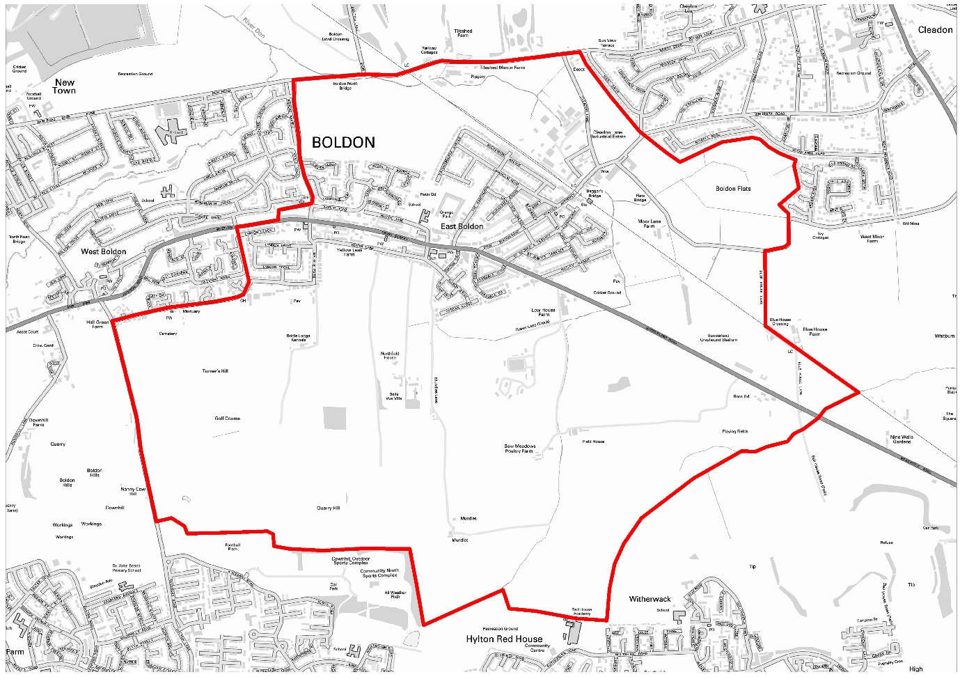
The Neighbourhood Plan which was approved by the local community at referendum in October 2021 is under threat from the Council’s Draft 2022 Local Plan.
To help you let the Council know what you think of their plan, Forum members have drafted a template (Word document) which highlights some of our main concerns. Information on various policies and sites which you may have views on is included in this document and below.
Our volunteers have spend a considerable amount of time working through the detail of the plan and have produced three documents which will form our response;
Executive Summary
Detailed Response
Appendix 1, A184 Traffic Commentary
Please use these to inform you own response and let us know if you have any comments on them. Our email address is info.eastboldonforum@gmail.com
It is important that as many residents as possible let the Council know their views.
Some residents have commented that the Council’s “Have Your Say” website (https://haveyoursay.southtyneside.gov.uk/spatial-planning/local-plan-2022/) is difficult to use, you may find it easier to email your response (including your name and address) to local.plan@southtyneside.gov.uk
Or by post to:
Spatial Planning,
Development Services,
Regeneration and Environment,
South Tyneside Council,
Town Hall and Civic Offices,
Westoe Road,
South Shields,
Tyne & Wear,
NE33 2RL
The council has set a very tight deadline for comments, they must be submitted by 14 August 2022.
Details of the plan can be found on the Council’s website:
https://www.southtyneside.gov.uk/article/75608/About-the-Local-Plan
East Boldon Forum’s reading of the Local Plan uncovered these issues
(Use our findings to help you make your personal response)
The number of houses proposed in the draft Local Plan (Policy SP2)
The basis for the calculation is not sound or credible and uses out of date statistics to calculate the housing numbers needed. This results in an overestimate of the houses needed.
The number of houses proposed in the Local Plan is based on 2014 household projections. This has been shown to be an overestimate by the 2021 census.
The Office for National Statistics issued the most up to date Census information in June 2022. This indicates that In South Tyneside, the population size has decreased by 0.2%, from around 148,100 in 2011 to 147,800 in 2021. This figure contrasts with the population figure set out in para. 1.15 of the Strategic Housing Market Assessment of 151,936.
The census records 68,300 households whereas the 2014 based projections used in the plan estimates 71,170.
The use of a 15% ‘Buffer’ element (Paragraph 8.6) in the draft plan.
The buffer can be in the range of 5% to 20%. South Tyneside Council has used a buffer of 15% rather than the minimum figure. This means that an additional 447 housing units are required resulting in the loss of more green belt land.
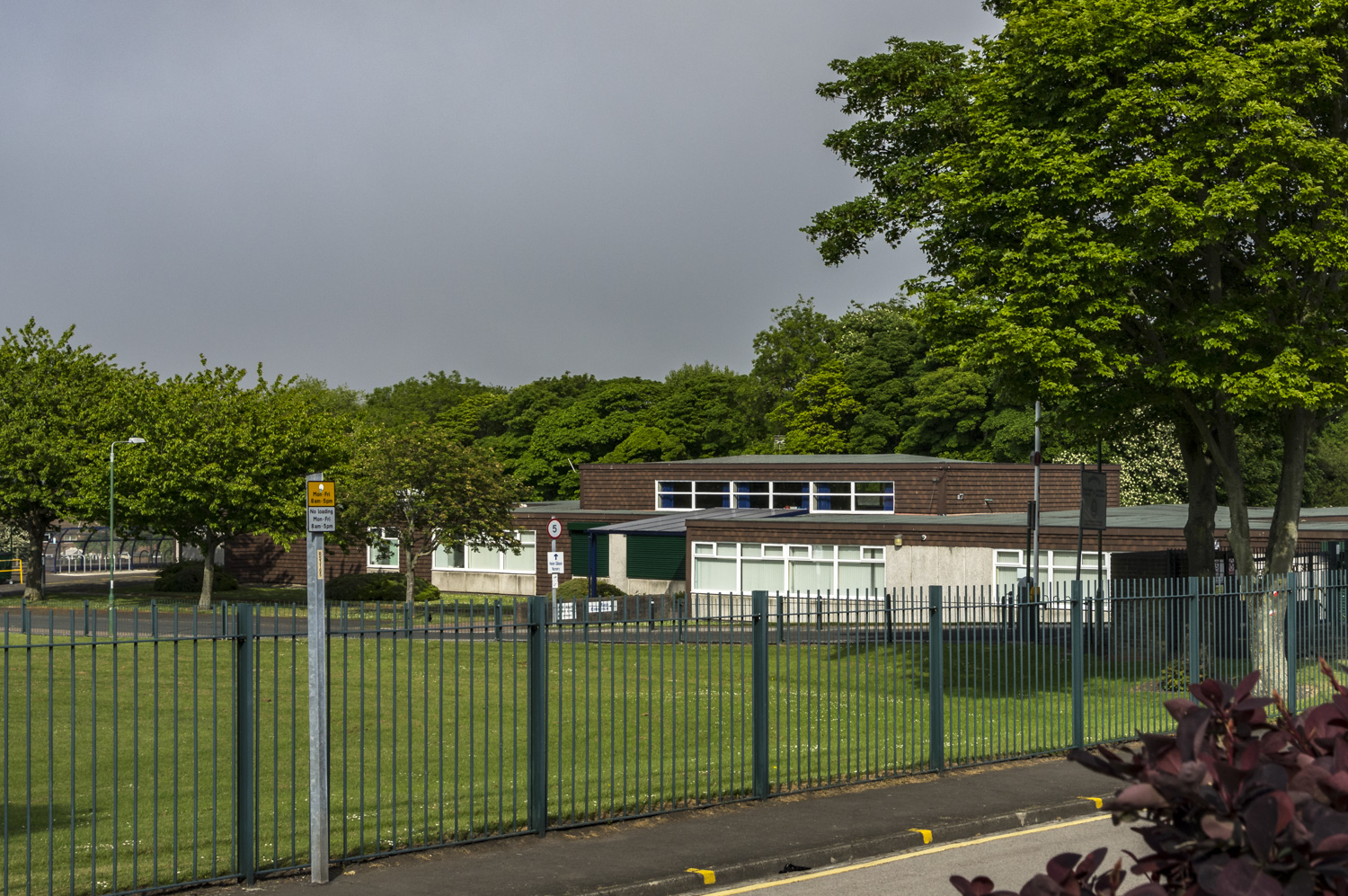
The number of houses (650) proposed for East Boldon (Paragraph 8.11 and 8.12 and SP2 point 8) in the draft plan.
The allocation is arbitrary and completely disregards the 2021 East Boldon Neighbourhood Plan, including its housing need assessment and settlement boundary.
It will result in a 37% increase in dwellings in East Boldon and will have profound consequences for infrastructure especially in relation to the road network and local schools.
It will have a major impact on the distinctiveness and character of the village.
The A184 runs through the centre of East Boldon with residential properties, a school and churches built on both sides. The increased traffic and air pollution that will result from these numbers will have a detrimental impact on the well-being and safety of its residents.
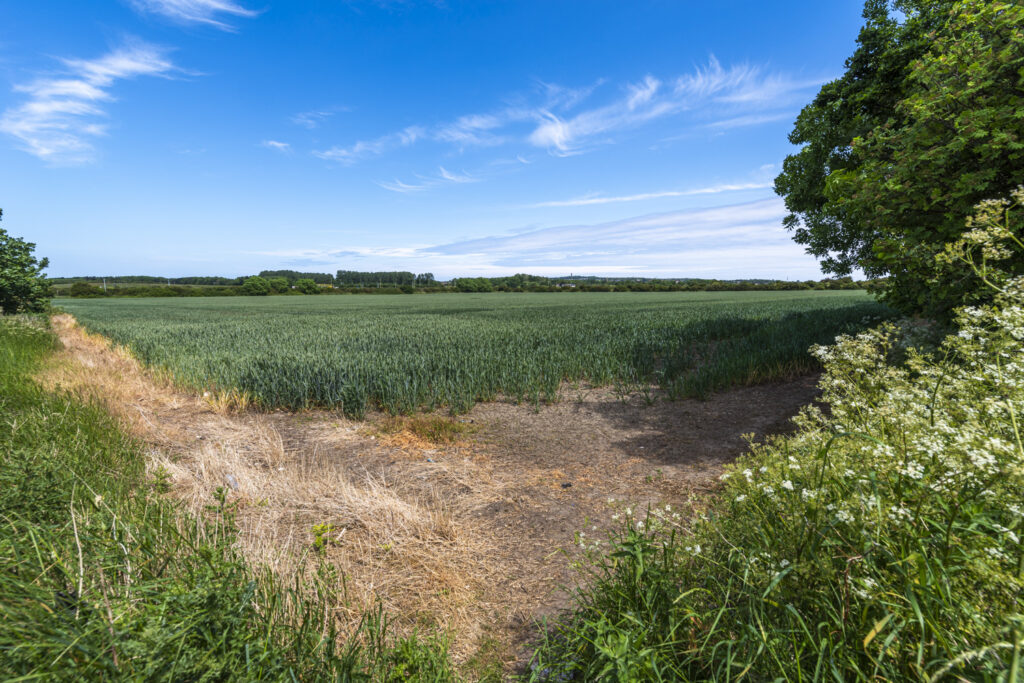
Amending the Green Belt boundary and loss of loss of greenbelt land to develop 1,862 new houses (SP3 point 2) proposed in the draft plan.
The proposal is not justified, uses of out-of-date evidence, and an exceptional circumstances case to do this has not been made.
Evidence of brownfield sites not being brought forward is apparent e.g., the site between Wagonway Road and Argyle Street in Hebburn.
It will have a major impact on the distinctiveness and character of the village. Site assessments in the background documents undervalue the importance of the land put forward and fail to reflect the function of the green belt boundary to protect the distinctiveness of the towns and villages affected. It will have a major impact on the distinctiveness and character of the village.
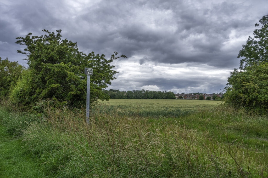
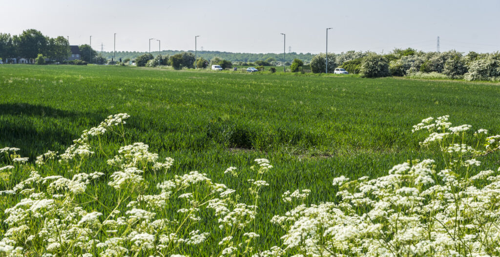
The loss of agricultural land and wildlife habitat, and the role greenbelt land will play in combating climate change is not given sufficient weight by the draft plan.
65 Hectares of Green Belt land has already been lost within 1 mile of the East Boldon Forum area for the IAMP development.
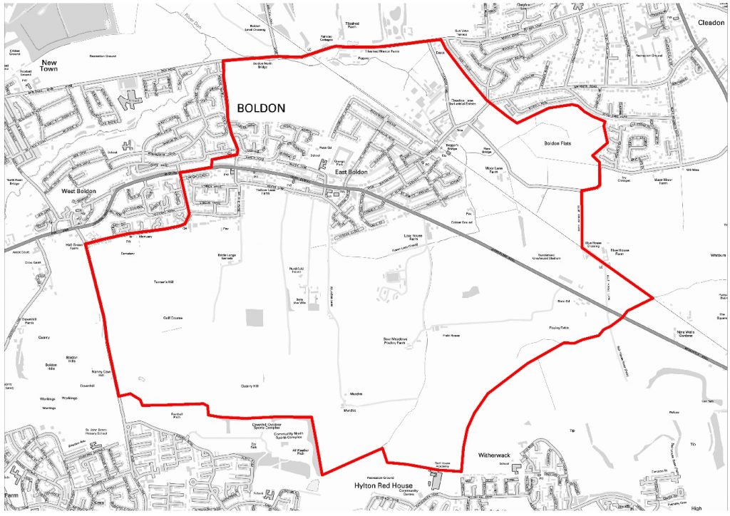
Proposed Green Belt Developments
(Council Descriptions are taken from the South Tyneside Site Frameworks 16.06.22 document available on their website under Evidence Papers)
Land at North Farm (West), New Road
Councils’ description:
The site comprises agricultural land in the Boldon Colliery Ward and the East Boldon Neighbourhood Planning area. The site is bounded by residential development to the south and west, New Road to the north and natural greenspace to the east. Development of the site would effectively be a rounding off if the built up area”
FORUM OBJECTIONS
CONTRADICTION OF THE NEIGHBOURHOOD PLAN
The development of the site is a major reversal of the East Boldon Neighbourhood Plan agreed at referendum in 2021.
LOSS OF VILLAGE IDENTITY
The Green Belt Review Site Assessment undervalues the importance of the site.
The development of the site will reduce the gap, in terms of distance, between Boldon and South Shields and the open space and separation along Boker Lane will be lost, effectively merging East and West Boldon.
INCREASED RISK OF FLOODING
There is a risk of surface water flooding for this site (it is located within Flood Zones 2 and 3) and the development of the site will have significant negative effects towards the climate change objective.
DAMAGE TO THE ENVIRONMENT
The site is within the wildlife corridor, is located within 5Om of a SSSI and 250 m of a local wildlife site and nature reserve. the Site Assessment states that a significant negative effect is expected in relation to the objective of conserving and enhancing biodiversity.
LOSS OF AGRICULTURAL LAND
The development of the site which is in agricultural use would result in the loss of Grade 3 agricultural land and the SA states that is therefore considered to have a significant negative effect in relation to the objective of protecting our soils and promoting efficient land use.
OVERLOAD ON INFRASTRUCTURE
The development of 263 houses on this site will have a major impact on the infrastructure of the village including the need for an extra 66 extra primary school places and 33 extra secondary school places. The Infrastructure Delivery Plan indicates a lack of capacity in local primary schools.
EXTREME INCREASE IN TRAFFIC – ALREADY OVER CAPACITY
The Traffic Capacity Assessment shows that the site would contribute significant additional capacity through the A184/ Boker Lane junction, which is already over capacity at the evening peak. When the impact of full barrier closure at the Tilesheds level crossing is included the impact on this junction is even greater. Similar impact is forecast for the Sunderland Road/ Station Road junction.
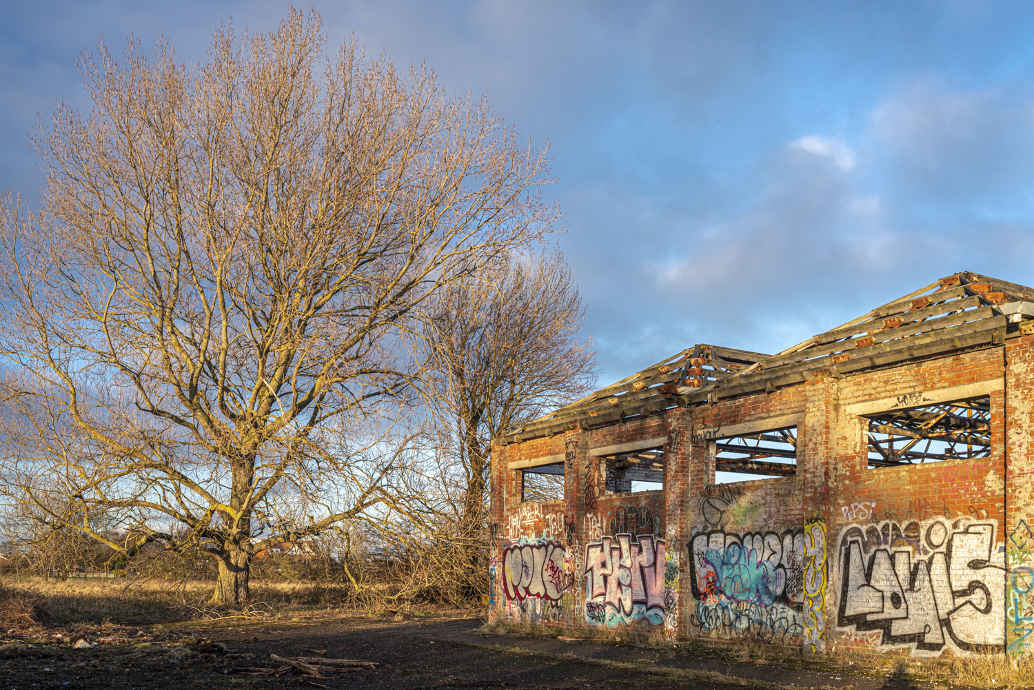
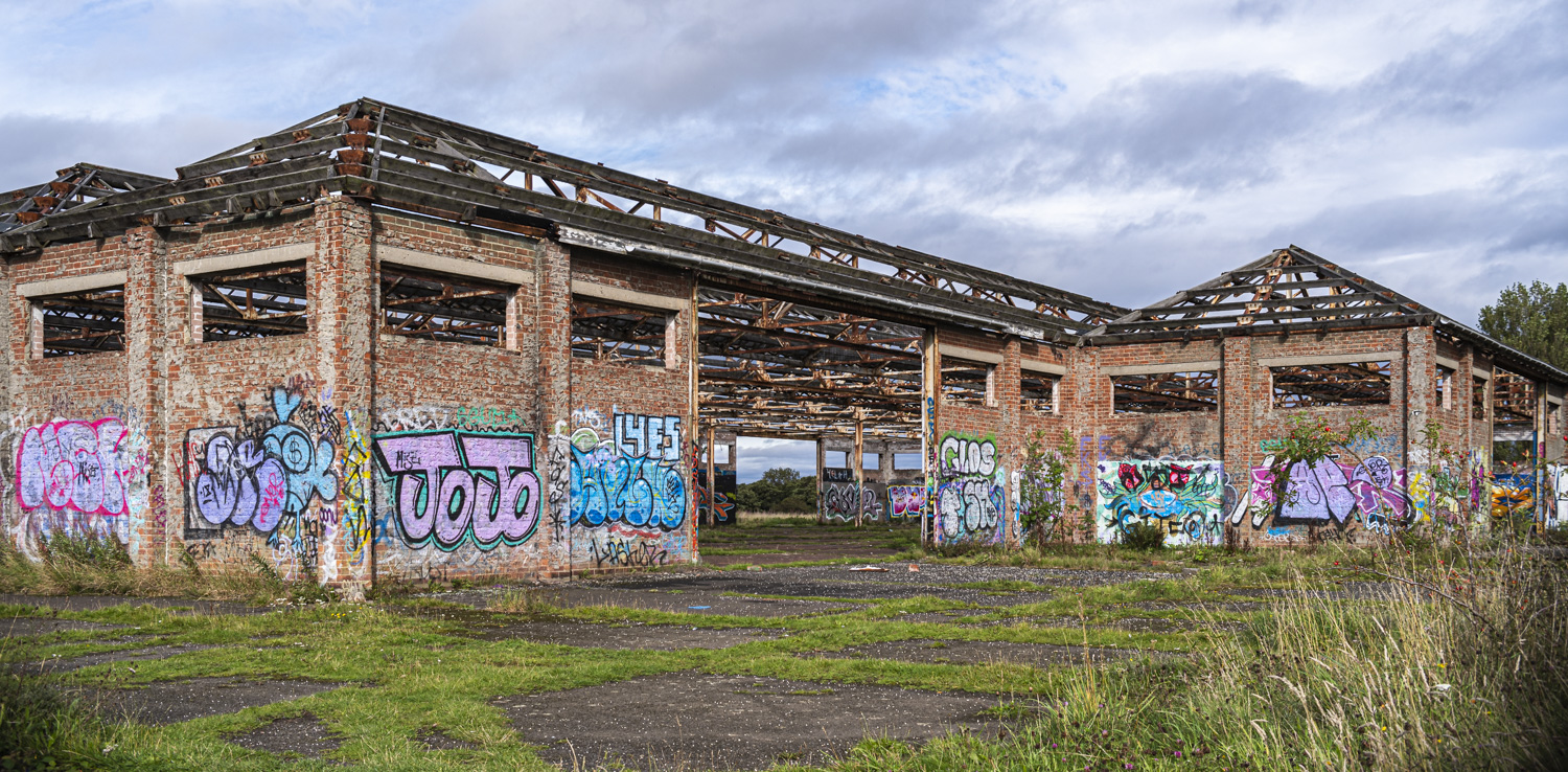
Former MoD Bunkers
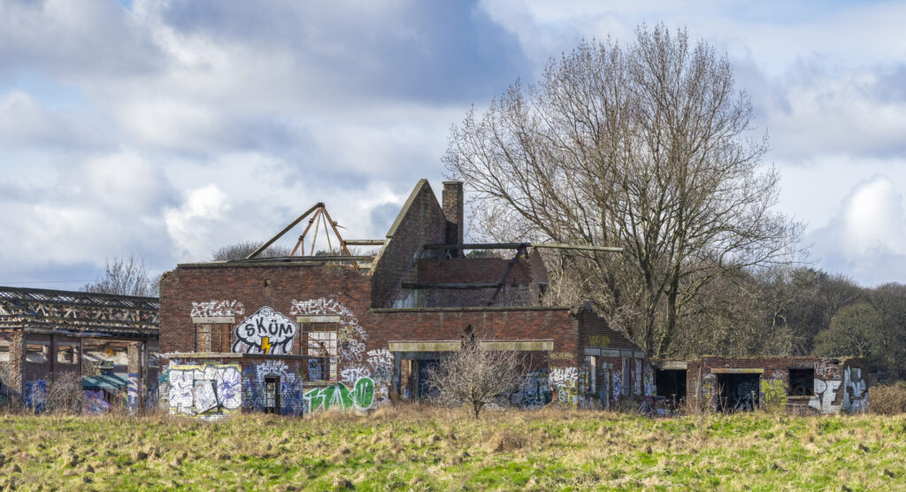
Council’s Description:
“The site is a brownfield site with vacant and derelict former bunkers and medical stores. The site is surrounded by agricultural land south of East Boldon. The site is accessed via Green Lane off Sunderland Road. The site is in the East Boldon Neighbourhood Planning Area. The site is in close proximity to bus stops along Sunderland Road.”
During the Forum’s research into the 2022 Draft Local Plan a planning proposal by Miller Homes from 2019 for 120 predominantly 4 an 5 bedroom homes on the MoD site was uncovered. Click to see the document on the Council’s website.
FORUM OBJECTIONS
CONTRADICTION OF THE NEIGHBOURHOOD PLAN
This site was not allocated for housing in the 2019 Draft Local Plan and its inclusion is a major reversal of the East Boldon Neighbourhood Plan agreed at referendum in 2021
GREENBELT VALUES IGNORED
The Stage 2 Green Belt Review is flawed and undervalues the overall importance of the site. The Wildlife Corridors Network Review identifies this as a Core Site of high nature conservation value The site is also within the current area of landscape significance and the South Tyneside Landscape Character Study (2012) recommended reclamation of the site. The site assessment highlights the risk of flooding and states that development of the site could have a significant negative effect upon the objective of enhancing our green infrastructure as it is located within a green infrastructure corridor.
The allocation and realignment of the Green Belt does not comply with guidance in the National Planning Policy Framework regarding Green Belt boundaries. The assessment itself states that “It is acknowledged that release of this parcel of land from the Green Belt would produce a Green Belt boundary that is neither logical nor robust and could lead to development pressure on parcels to the north.” The assessment also states “However, there is a risk that the new Green Belt boundary would not provide a firm and distinct edge to the settlement and would not help in preventing further sprawl going forward.”
EBNF received proposals for the development of two parcels of land to the north of the site for 215 houses during the NP examination and these were rejected by the independent examiner. The allocation of this site and the fact that the Green Belt boundary proposed is not robust may now bring forward these proposals once again.
LOSS OF SIGNIFICANT HERITAGE
The remains of the Second World War Anti-Aircraft Supply Depot buildings on site are listed on South Tyneside’s Locally Significant Heritage Assets List and the development of the site for housing could result in a loss of locally significant heritage.
OVERLOAD ON INFRASTRUCTURE
The development of 120 houses on the site will make a considerable impact on the infrastructure of the village. The site would generate an additional 30 primary school places and 15 secondary school places. The current junior and infant schools are at capacity.
The Traffic Capacity Assessment shows that this site would contribute the largest amounts of additional trips along the A184, with the highest impact on the A184 / Boker Lane junction, which is already over capacity at evening peak.
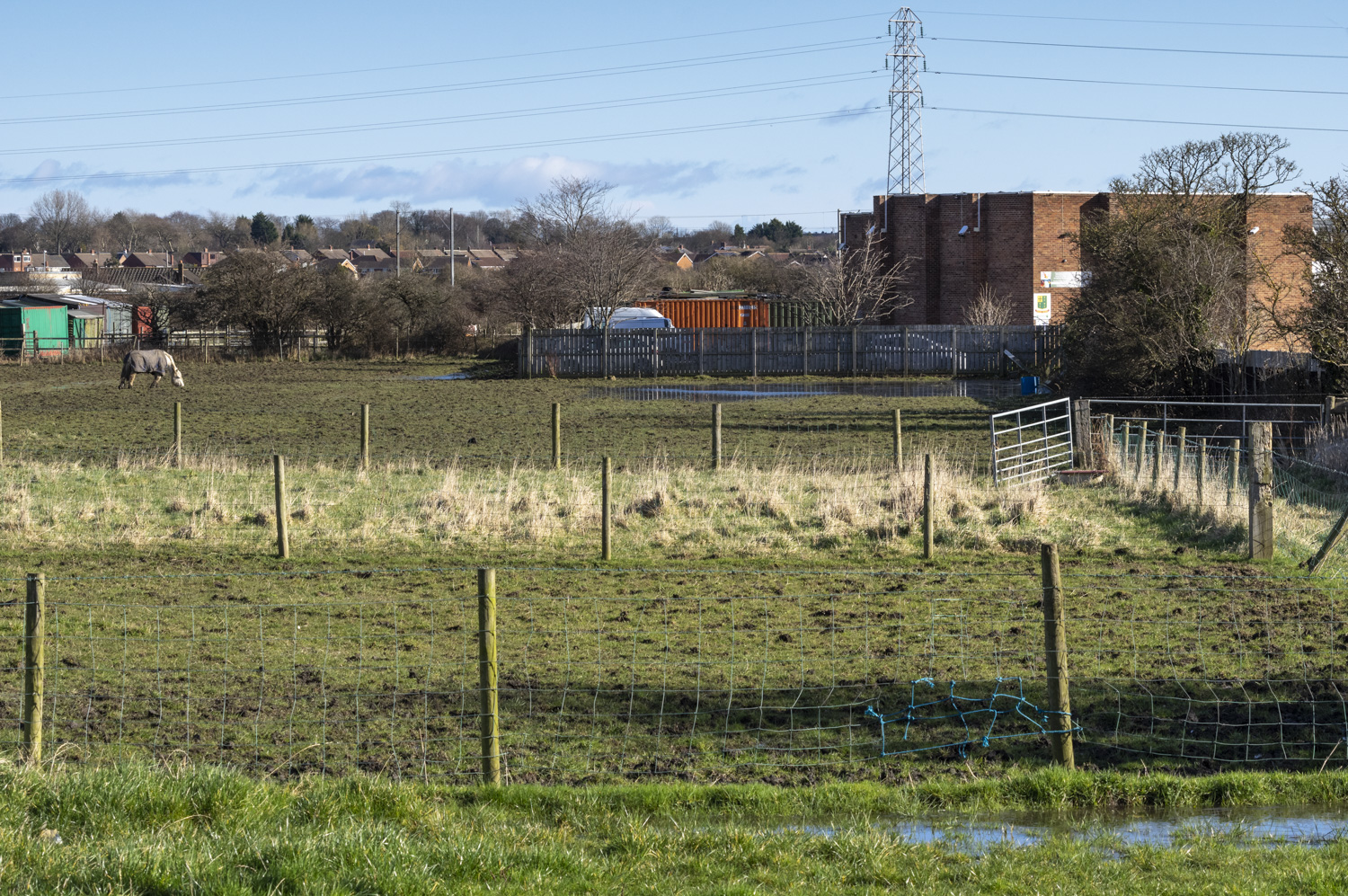
Land South of St John’s Terrace and Natley Avenue
Council’s Description:
“The site is agricultural land south of East Boldon. The site can be accessed off St John’s terrace and would effectively be an extension of the existing housing estate. The site is in the East Boldon Neighbourhood Planning Area. The site is bounded by residential development to the north, the A184 to the west and a cricket and squash club to the south. The site is in close proximity to East Boldon metro station and bus stops“
FORUM OBJECTIONS
CONTRADICTION OF THE NEIGHBOURHOOD PLAN
Its inclusion is a major reversal of the East Boldon Neighbourhood Plan agreed at referendum in 2021.
OVERLOAD ON INFRASTRUCTURE
Access to this infill site is problematic:
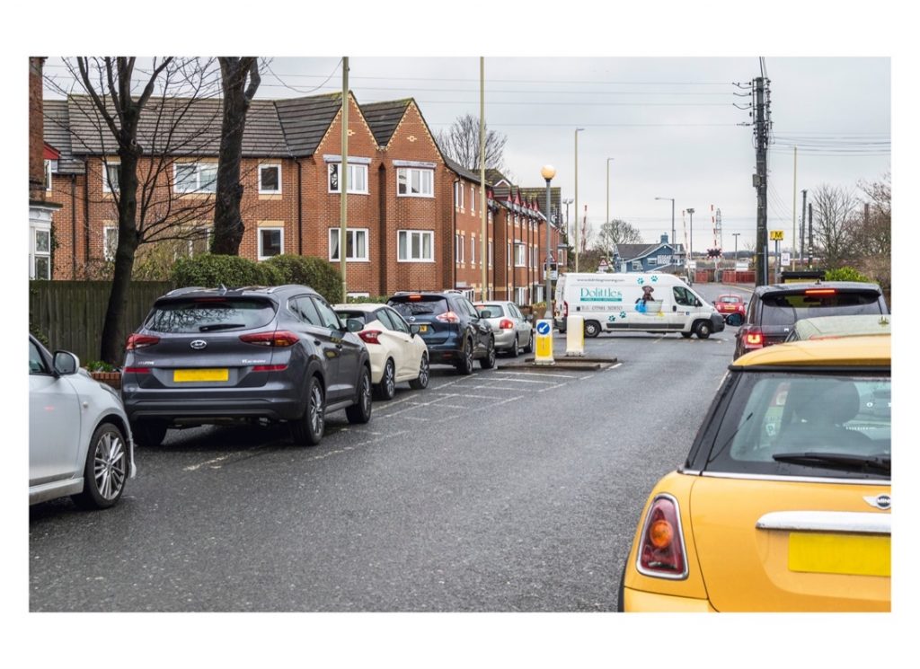
· St John’s Terrace is a narrow road, which cannot cope with existing traffic demands and is plagued by parking problems, mainly from commuters using the Metro system.
· Access from A184, would create significant road safety issues, including the close proximity of current accesses to Boldon Cricket Club, Low House Farm, Green Lane and Natley Avenue.
The development of the site will have a considerable impact on the infrastructure of the village.
The Traffic Capacity Assessment states that the development of the site will contribute to increasing capacity at the Station Road and Boker Lane traffic light junctions on the A184. The Boker Lane junction is already over capacity at evening peak.
The site will generate 15 additional primary school places. The current junior and infant schools are at capacity.
SOCIAL INCOMPATIBILITY
The siting of new houses immediately adjacent to a long established (and high level) cricket club, with licensed bar and function room, is incompatible.
NEGATIVE IMPACT ON GREEN INFRASTRUCTURE
The Site-Specific Sustainability Appraisal identifies that the site has a significant negative impact against the climate change objective.
The site is close to the Low House Copse and Boldon Flats Local Wildlife Sites and the Boldon Pastures SSSI and within the South Tyneside Wildlife Corridors Network. The site is within the green infrastructure corridor and there are mature trees and vegetation on the site. Its loss to development would have a significant impact.
INCREASED RISK OF FLOODING
To the northeast of the site the land is low lying and is crossed by a burn (River Don tributary), which creates a potential flood risk. It is within Flood Zones 2 and 3 and overall, the site has a negative impact. The site also intersects with a Source Protection Zone for groundwater, and this also provides a negative impact in the SA site appraisal.
LOSS OF AGRICULTURAL LAND
The development of this site would result in the loss of Grade 3 agricultural land and therefore is considered to have a significant negative effect in relation to the objective to protect our soils and promote efficient land use.
Other Questions About The Plan
Please see questions / comments below (these refer to items within the Forum area):
If you have any questions about the Local Plan which you’d like help to comment on please leave us a message.
What has the Forum done since the plan was released ?
We have:
- Met with Ward Councillors to express our concerns;
- Written to the Leader of the Council to express our concerns and request an extension to the deadline for responses. This has now been granted – the deadline has been extended to 14th August.
- Written to the Secretary of State to express concern over development on the Green Belt to which a response was received on 20 July 2022. The response includes these comments which make interesting reading:
- “Local Plans indicate how land should be used, the type and location of future development, and the presence of restraints such as Green Belt“
- “The Government is committed to protecting and enhancing the Green Belt, in line with our manifesto. Strong protections for Green Belt remain firmly in place. The Framework states, for instance, that a Green Belt boundary may be altered only in exceptional circumstances through the Local Plan process.“
- “The standard method does not impose a target; it is still up to the local authority to determine its housing requirement, and this includes taking local circumstances and restraints such as Green Belt into account,….“
- “It is recognised that not every community will be able to meet its housing need in full.“
- “We are continuing to monitor the operation of Local Housing Need assessments, particularly as the effect of changes to the way we live and work. We are developing policy on this topic and intend to set out further thinking on direction of travel as soon as we are able to do so.“
- Following the response from the Department for Levelling up, Housing and Communities we have again written to the Council and our three councillors highlighting out the points noted above.
- Written to Kate Osborne MP about the South Tyneside Housing Requirement and the implications for the Green Belt and villages;
- Worked jointly with Whitburn Neighbourhood Forum to challenge the draft Local Plan.